
Scientific Instruments > Navigational
Map Measure with Ivory Handle
Item#: SNI1280
SOLD


This is an antique instrument to measure distances on maps and plans. It was used for measuring length of roads, rivers, walls, etc. on maps. The device contains an ivory handle and a tracing wheel. The tracing wheel turns a screw to which a small indicator is attached. Each turn of the wheel moves the indicator. It is calibrated by tracing the map scale to find the distance per one wheel rotation. Following the calibration one can measure distances in any unit, thus showing the distance one would travel on the actual terrain. The measure is marked with the wide arrow which indicates it was used by the British military. The handle has a beautiful turned delicate finial
Related Items
-
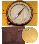
 Price: $500.00
 -
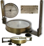
 Price: $1175.00
 -
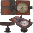
 Price: $660.00
Development: Epoch | Design: Luch
Copyright © 1999-2025 Gilai Collectibles. All Rights Reserved