Old Maps and Globes > Holy Land Maps
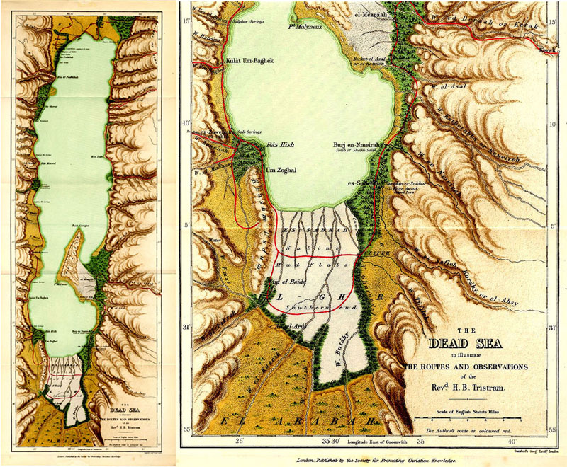
Tristram Map of the Dead Sea 1866.
Map of the Dead Sea To Illustrate The Routes And Observations Of The Reverend H.B. Tristram. Drawn and engraved by the Stanford’s Geological Establishment, London. Published by the Society for Promoting Christian Knowledge, London. Year Published: 1866. Size (width X Height): 7 X 20 inches. Copper engraving, color print. Map Description: This is probably the first comprehensive map of the Dead Sea based on measurements and data from previous researchers (Robinson, Costigan & Molyneux and Lynch). Officers of the Palestine Exploration verified the map details in 1865. The author’s route is colored red. The location of salt and sulfur hot and cold springs as well as cane swamps and brakes are indicated. Map Source and Reference: The Land of Israel. By H.B. Tristram, London 1866, 4th ed. 1882.
Related Items
-
 Price: $250.00
 -
 Price: $30.00
 -
 Price: $55.00
Development: Epoch | Design: Luch
Copyright © 1999-2024 Gilai Collectibles. All Rights Reserved


