
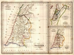
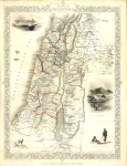
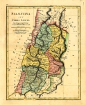
Old Maps and Globes > Holy Land Maps
The Old Testament World Published in 1911


This map depicts the near east as it would have been during the biblical period. The map includes the Mediterranean Sea (Great Sea) basin, NE Africa S Europe and W Asia, showing places such as Goshen and Nineveh. The map was printed in Biblical Geography & History by Charles Foster Kent in NY 1911
Related Items
-
 Price: $75.00
 -
 Price: $350.00
 -
 Price: $200.00
Development: Epoch | Design: Luch
Copyright © 1999-2026 Gilai Collectibles. All Rights Reserved