Old Maps and Globes > Holy Land Maps
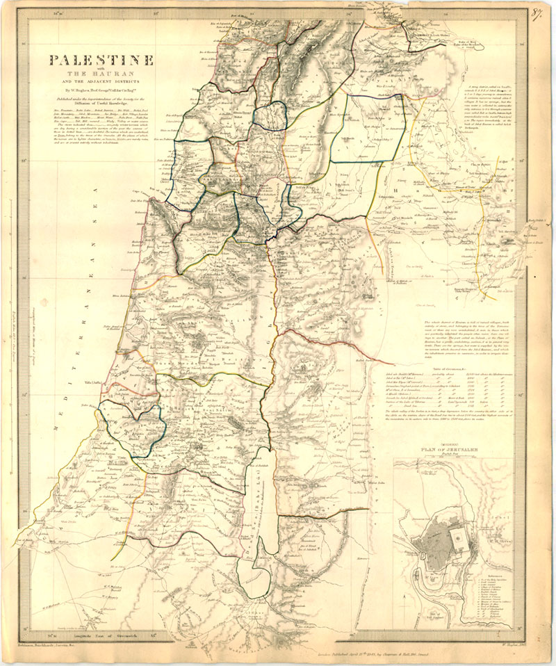
Palestine with the Hauran and the Adjacent Districts SDUK 1843
Item#: MAH951
SOLD
The Holy Land in the early 19th century. Engraveed by William Hughs who based the map on maps by Robinson Burekhardt and Jacotin. It was published in 1843 by Chapman & Hall for SDUK the Society for the Diffusion of Useful Knowledge. The map depicts Palestine during the Ottoman rule with the different administrative division borders in color. The map shows towns cities and villages. Mountain streems and roads. At the bottom right is an inset of Jerusalem in the early 19th century. The map is in very good condition with no foxing and only minor discoloration to the edges. The map size is 33.5 cm X 41 cm (13 X 16 inches).
Related Items
-
 Price: Contact us
 -
 Price: $200.00
 -
 Price: $65.00
Development: Epoch | Design: Luch
Copyright © 1999-2024 Gilai Collectibles. All Rights Reserved


