Old Maps and Globes > Holy Land Maps
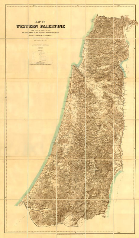
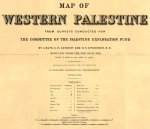
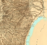
Conder and Kitchner Map of Palestine 1881. The PEF Survey Map.
Item#: MAH1051
SOLD
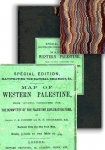
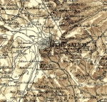
This comprehensive map of Palestine was the first detailed map constructed from surveys made by the Committee of the Palestine Exploration Fund (PEF) between 1872 and 1878. The authors of the survey were Lieutenants Claude Reignier Conder and Horatio Herbert Kitchener, both officers in the Royal Engineers. The map was drawn by Conder and Kitchener but the lettering and finishing was done mostly by J. Brophy and J. Maling of the Royal Engineers. The surveyed area includes modern day Israel: Judea, Samaria, and Galilee, the southernmost part of Lebanon, the Jordan River and the Dead Sea. Each part of the original map was produced in tremendous detail to a scale of one inch per mile. In this special addition map the scale has been reduced to 3/8 inch to a mile. This map was printed in colors by a Lithographic method, dissected into 30 parts and mounted on linen, folded into marbled endpapers and housed within original dark green cloth boards, with publisher's label. Dimensions: 1600 by 960 mm. (62.75 by 38 inches). This rare Special Edition map was published by Edward Stanford, Charing Cross, London. October 10th 1881, and is in mint condition.
Related Items
-
 Price: $44.00
 -
 Price: $150.00
 -
 Price: $55.00
Development: Epoch | Design: Luch
Copyright © 1999-2024 Gilai Collectibles. All Rights Reserved


