Old Maps and Globes > Jerusalem Maps
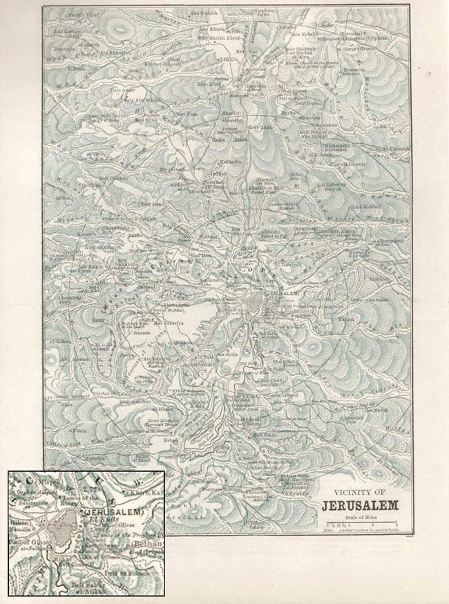
A Map of the Vicinity of Jerusalem Published by Phillips & Hunt 1886.
Item#: MAJ252
SOLD
A unique 19th century map showing the the vicinity of the city of Jerusalem. The map encompasses a radius of between16 and 25 km (10 and 15 miles) around the city. Jerusalem is visible in the middle of the map. Depicted on the map are mountain ranges, rivers roads and towns; both biblical and local. Famous sites which can be seen are Bethany, Emaus, Rachel's Tomb, Bethlehem and many more. The map was removed from the People's Atlas 1886 Phillips & Hunt publishers. Page size 19 X 28 cm (7.5 X 11 inches)
Related Items
-
 Price: $50.00
 -
 Price: Contact us
 -
 Price: $350.00
Development: Epoch | Design: Luch
Copyright © 1999-2024 Gilai Collectibles. All Rights Reserved


